
 File photo of the confluence of Khurdopin and Yokshin Glacier and blockade of Verjherav glacio-fluvial stream. Credit: MIMCP
HAH Report
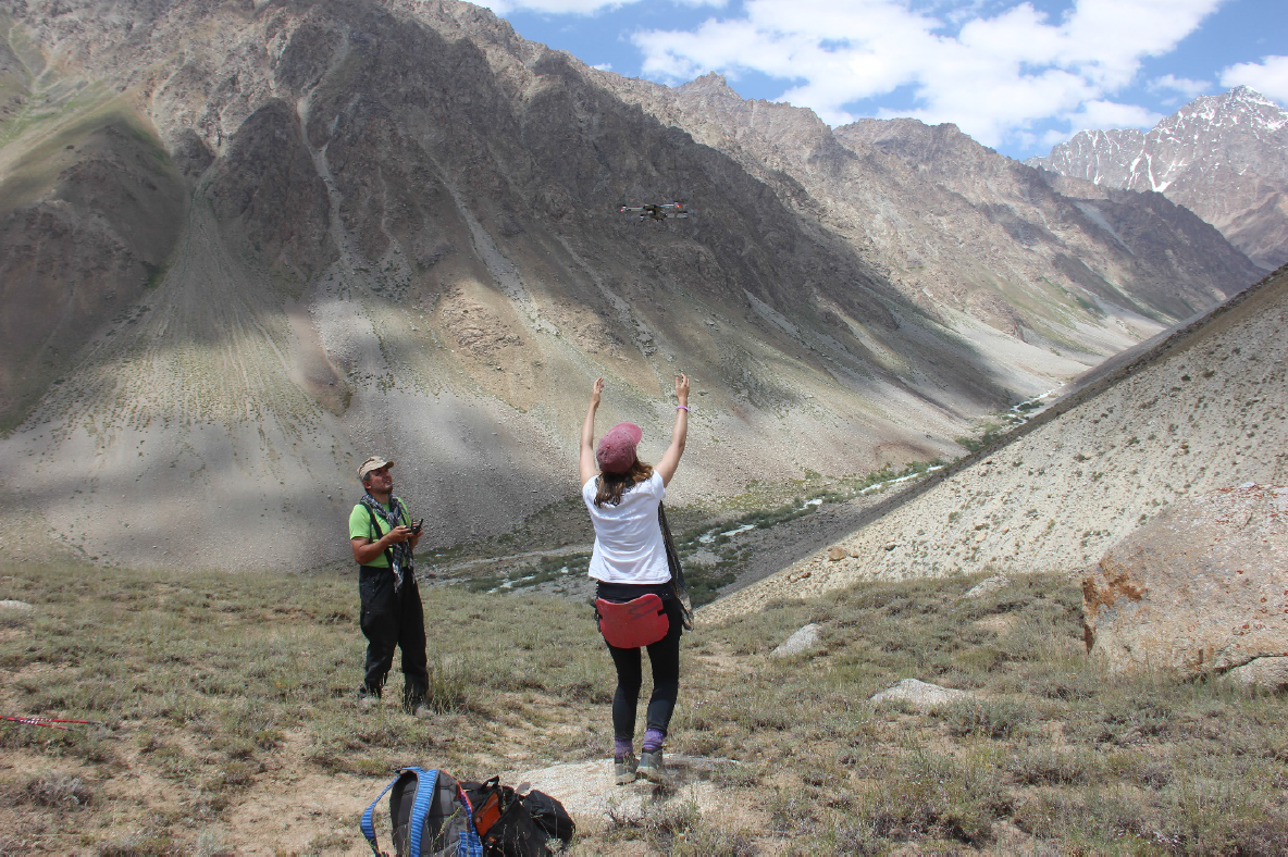 Use of drone near Patkhur village in GBAO to collect data that will help assess the potential impact of a lake outburst.Photo: Akah
In Tajikistan, the agency used a drone to map the glacier above Barsem village in Shughnan Valley, which in 2015 was responsible for causing the debris flow that destroyed over 80 households and critical infrastructure including the road between Tajikistan and China through Murghab.
The drone provided an aerial view of the overall damage caused by the debris and identified the source of the hazard, providing first-hand images quickly and safely, facilitating an effective response.
In other geographies as well, drones have enabled AKAH to create more detailed and accurate hazard maps to improve disaster risk reduction work. In Pakistan in 2017-2018 the Khurdopin glacier, in the Shimshal Valley of Gilgit-Baltistan, was surging and blocked the Shimshal River, forming an artificial lake. As the area was inaccessible, AKAH, in cooperation with the Gilgit-Baltistan Disaster Management Authority, used a drone to monitor the surge and the lake build-up.
AKAH also used a drone to monitor the Badswat glacier when in 2018 Badswat and Bilhanz villages in the Immit Valley of Gilgit-Baltistan were hit by a glacial lake outburst flood, which led to the formation of an artificial lake.
While there was damage to 40 houses and road access was blocked, no lives were lost thanks to timely evacuation as part of AKAH’s disaster risk mitigation activities. Currently, AKAH is monitoring the Shishpar glacier in Hunza in Gilgit-Baltistan. The glacier has been surging since May 2018 and has blocked water flow from an adjacent glacier creating an artificial lake.
AKAH is monitoring the lake with remote sensing and drone technologies as well as a camera near the glacier to track the status of the lake and the glacier upstream to alert communities below of the risks and inform response and mitigation measures.
Technological innovations such as drones enable AKAH to carry out more accurate hazard mapping, saving lives and protecting assets and livelihoods from natural disasters. They also allow for faster, more accurate assessment of damage post-disaster to inform more efficient and effective responses.
The High Asia Herald is a member of High Asia Media Group — a window to High Asia and Central Asia